
Free map
Pierce County Through Time
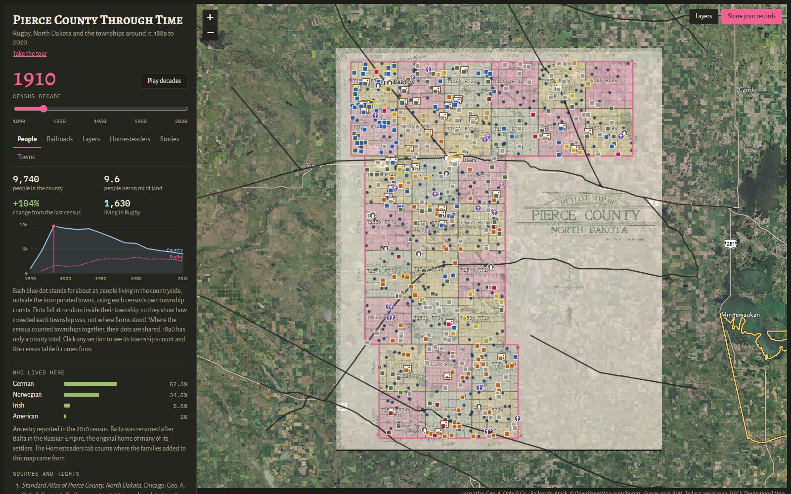
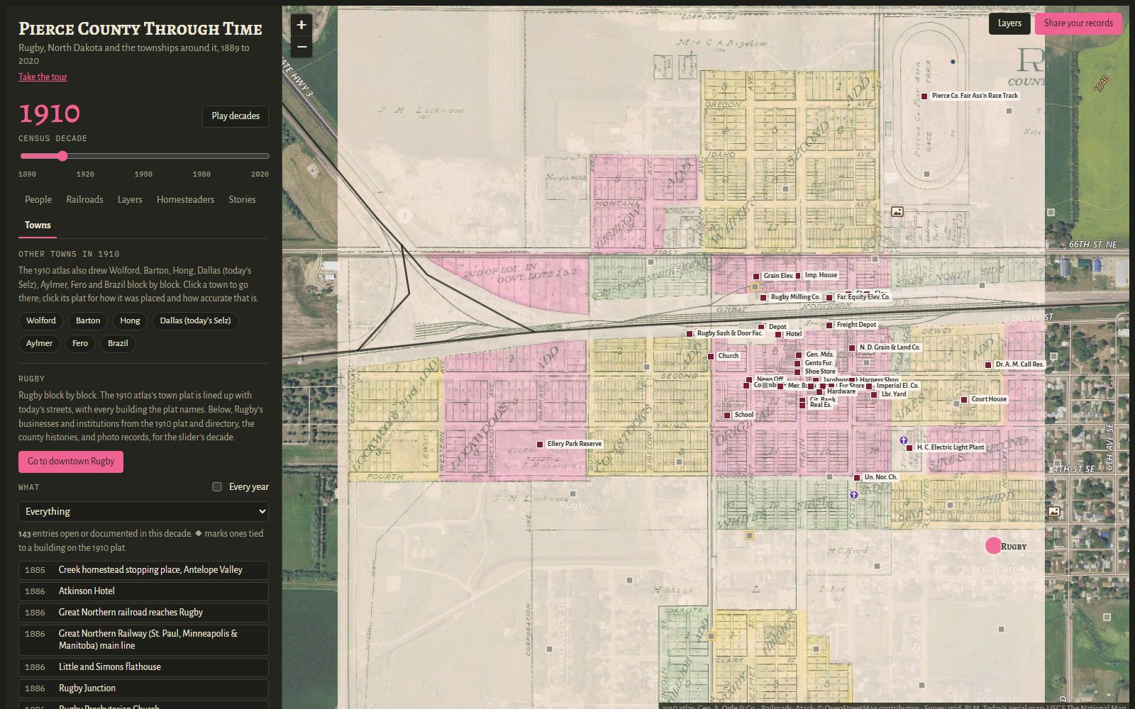
Pierce County, North Dakota, from its founding in 1889 to the 2020 census. Move the decade slider to watch the townships fill and empty, then zoom into Rugby or any small town to see who owned which lot in 1910.
Every pin and every number names the record it came from, with a link to the original scan where one is online.
Open the map full screenRugby, ND
On a phone, the map works best full screen.
What's on the map
- Population by decade
- Township counts from every federal census, 1890 to 2020. Each year adds up to the county total printed in the census.
- The 1910 atlas
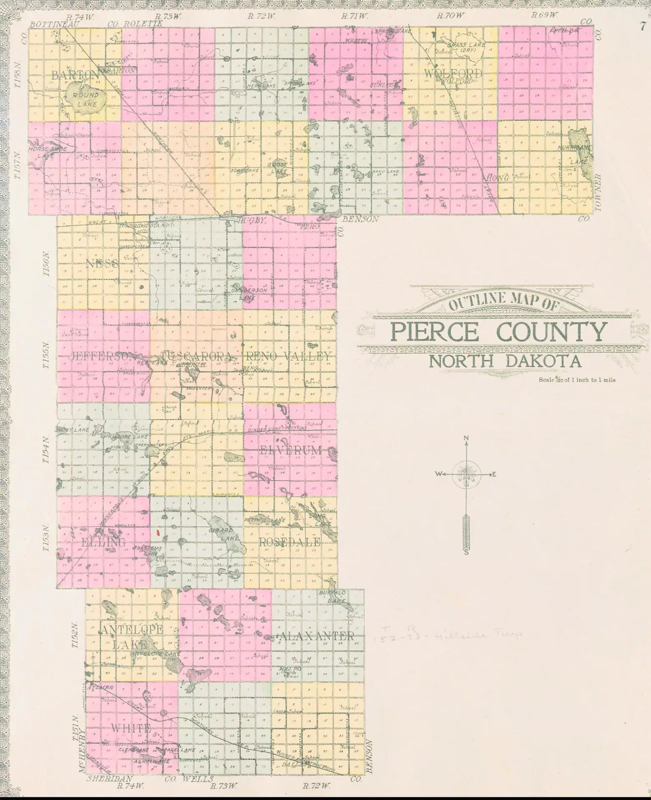
- Geo. A. Ogle & Co.'s Standard Atlas of Pierce County: the county map, all 30 township plats with landowners, the patron directory and its photographs.
- Rugby, block by block
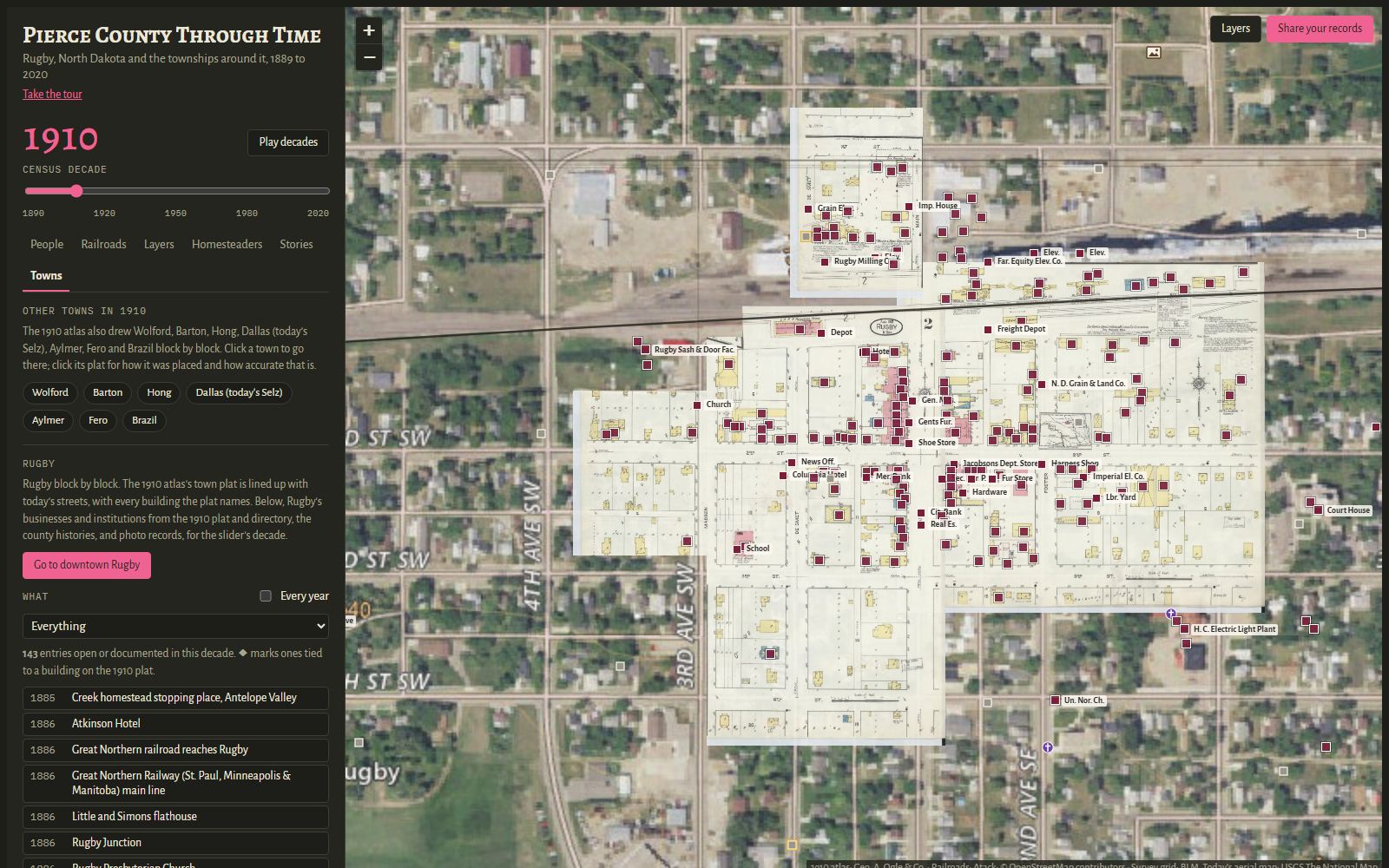
- The 1910 town plat and the 1907 and 1913 Sanborn fire insurance maps, laid over today's streets.
- The small towns
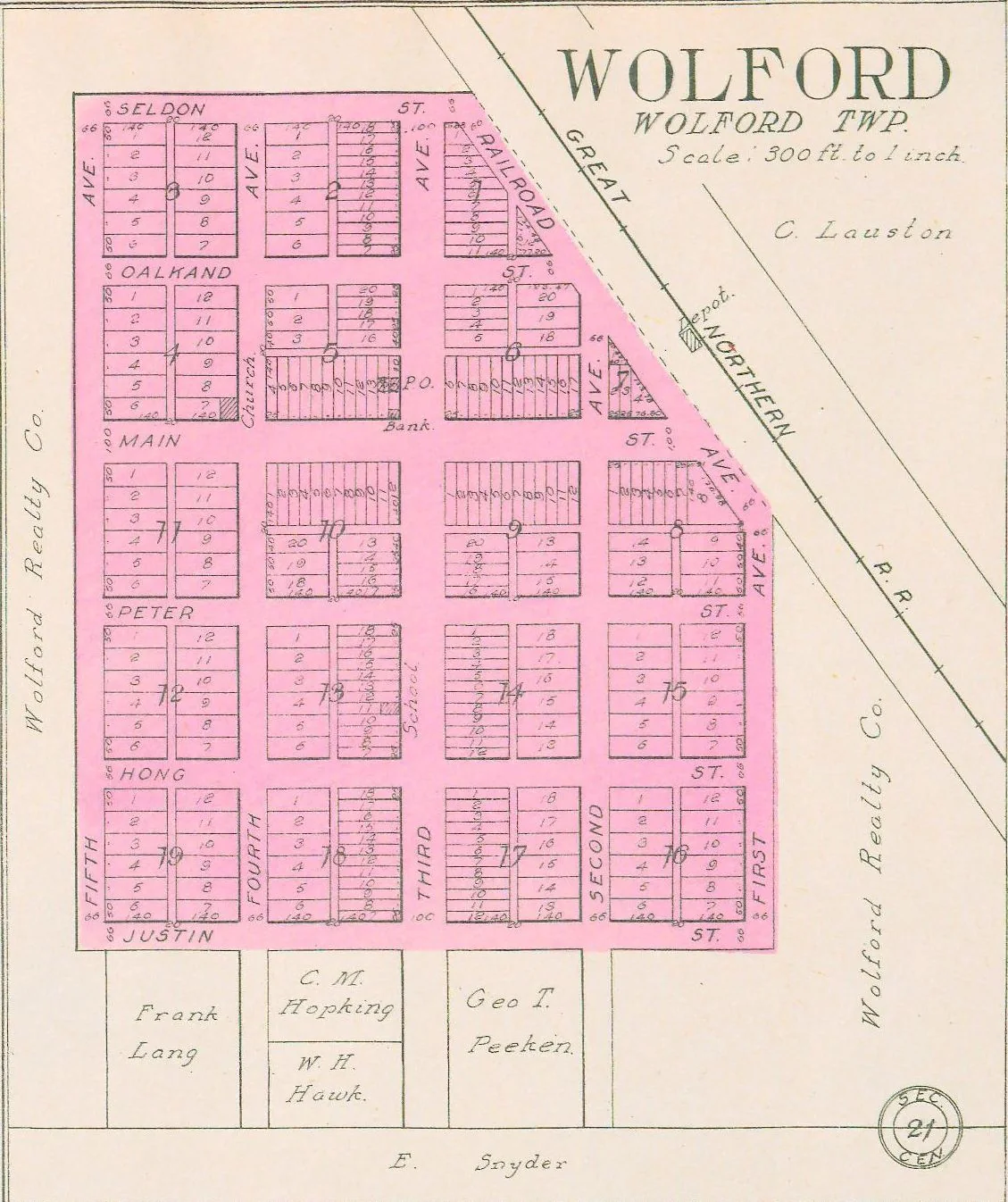
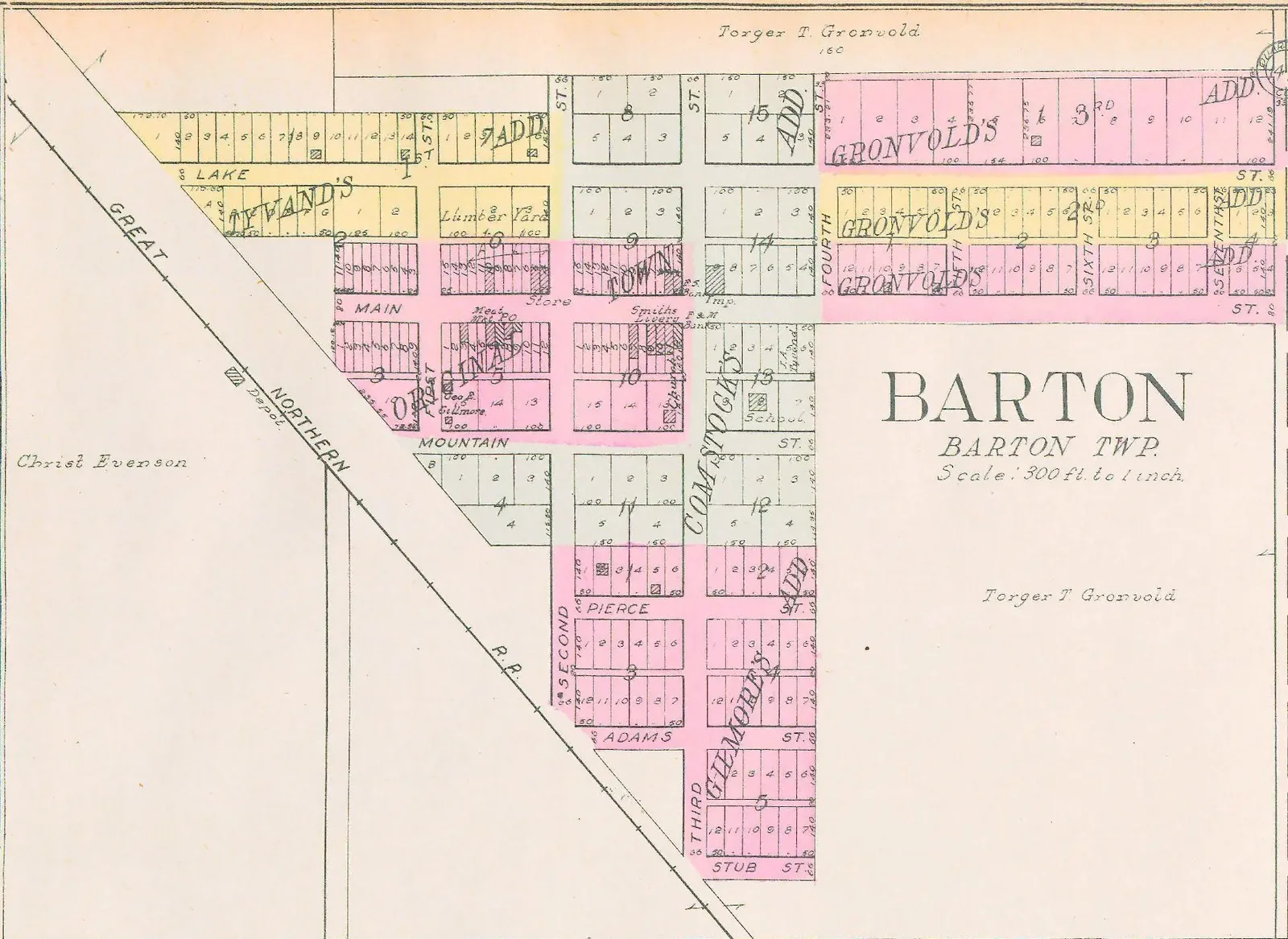
- 1910 plats of Wolford, Barton, Hong, Dallas (today's Selz), Aylmer, Fero and Brazil.
- Pioneers and histories
- The 1889 pioneer list and the people and places named in three county histories.
- Landmarks
- Churches, schools, cemeteries, town sites and railroads, with which rail lines are still running.
Sources
- Geo. A. Ogle & Co., Standard Atlas of Pierce County, North Dakota (1910), via Digital Horizons. Public domain.
- Sanborn Map Company, Rugby, North Dakota (1907 and 1913), Library of Congress. No known restrictions.
- U.S. Census Bureau, decennial census population tables, 1890 to 2020.
- Bureau of Land Management, Public Land Survey System township and section grid.
- Jeremy Atack, historical U.S. railroad shapefiles.
- Today's aerial map: USGS The National Map. Today's highways: OpenStreetMap contributors.
Unmarked graves and sites that aren't publicly known are shown only to about a mile, so no one can disturb them.
Records and map views
The county on paper and on screen
Have a photo, story or homestead record from Pierce County?
Send it in, and tell us how you want it shared: on the map at the exact spot, blurred to about a mile, or kept in the archive only, for the record.